Trail Marking and Signs
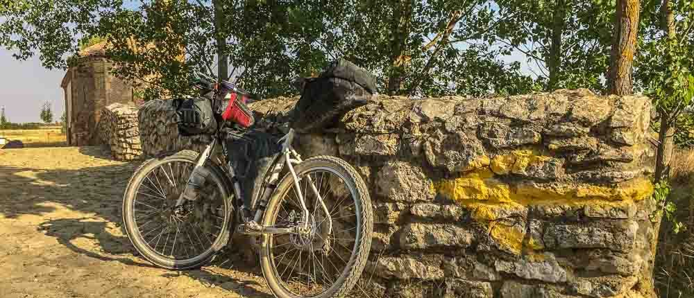
The Camino Francés is extremely well-marked with a combination of yellow arrows, shell symbols, and signs. The exact system of the signage varies a little from region to region and city to city, and is maintained by local or regional groups. Many consider the Camino one of the best marked long trails in the world, and few walkers report that they have had issues with navigation using only way markings and guidebook maps. Most reports of route-finding issues occur in cities, where many distracting signs and activities can obscure yellow arrows and signs.
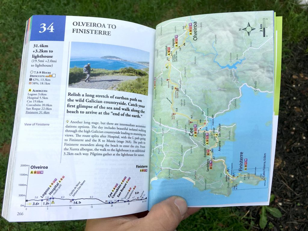
Maps in Guidebooks
Camino de Santiago: Camino Francés (guidebook) includes 135 useful stage and city maps, and a full GPX and Google Earth file set to offer assistance in planning and navigational aid.
We have also added the Camino Francés route as a detailed collection of stages into the popular cycling mapping and navigation platform Ride With GPS.
Camino Francés stage maps with interactive accommodation view options and online booking links can be found at https://www.caminoguidebook.com/routes/camino-frances.
Camino Francés Day Stages
Click day stages to explore interactive maps and book accommodation online.
Basque Country & Navarra, 162.4km
- 1: St. Jean to Roncesvalles, 24.7km
- 2: Roncesvalles to Zubiri, 21.9km
- 3: Zubiri to Pamplona, 20.6km
- 4: Pamplona to Puente la Reina, 24.1km
- 5: Puente la Reina to Estella, 22.0km
- 6: Estella to Los Arcos, 21.6km
- 7: Los Arcos to Logroño, 27.5km
La Rioja & Castilla y León, 122.9km
- 8: Logroño to Nájera, 29.8km
- 9: Nájera to Santo Domingo, 20.9km
- 10: Santo Domingo to Belorado, 22.3km
- 11: Belorado to Agés, 27.5km
- 12: Agés to Burgos, 22.4km
Meseta, 233.1km
- 13: Burgos to Hontanas, 31.3km
- 14: Hontanas to Boadilla, 28.4km
- 15: Boadilla to Carrión, 24.7km
- 16/16A: Carrión to Terradillos, 26.5km
- 17/17A: Terradillos to Calzadilla, 26.5km
- 18/18A: Calzadilla to Mansilla, 23.8km
- 19: Mansilla to León, 18.1km
- 20/20A: León to Villar de Mazarife, 22.0km
- 21/21A: V/de Mazarife to Astorga, 31.8km
Cantabrian Mtns. & El Bierzo, 101.2km
- 22: Astorga to Foncebadón, 26.0km
- 23: Foncebadón to Ponferrada, 27.0km
- 24: Ponferrada to Villafranca, 24.4km
- 25/25A: Villafranca to La Faba, 23.8km
Galicia, 159.2km
- 26: La Faba to Triacastela, 25.5km
- 27/27A: Triacastela to Barbadelo, 22.5km
- 28: Barbadelo to Hospital Alta da Cruz, 29.9km
- 29: Hospital Alta da Cruz to Melide, 28.1km
- 30: Melida to Arca, 33.0km
- 31: Arca to Santiago, 20.2km
Camino Finisterre, 86.7km
Camino Francés
More info on GPS devices and Smart phone Applications is available at https://www.caminoguidebook.com/on-the-way/maps-gps.
GPS data © Village to Village Press, LLC. GPS data is available for personal and recreational use only, and may not be used for any commercial purposes.


